Woonasquatucket River Fishing Spot
- Elevation: 4'
- Last Modified By: overstdr on 05/22/11 12:16 AM
- Ask about Woonasquatucket River in our Fishing Forums
Photos
Comments
-
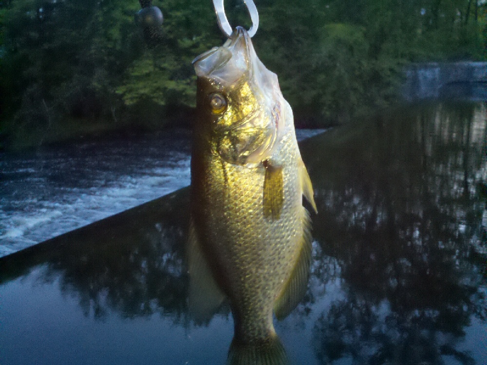
Plenty of chain pickerel and crappie as well as some largemouth bass. If you fish upriver near Centerdale Manor in North Providence (Allendale Pond, Lyman Mill Pond, Manton Pond), minimize contact with the water, dirt, and fish as the water is polluted with Dioxin and is designated a superfund site by the EPA
Woonasquatucket River Baits and Tackle
Live Bait (Other) Check Prices
- porgy
- pogie chunk
- live shiners, 5-6 inches long
Other Check Prices
- porgy snagger
- Just bread balls
Crankbait Check Prices
- orange, black split center
- small lightning stick
Spinnerbait / Buzzbait Check Prices
- uh, spinnerbait
- spinner, silver with red trim
Worm Check Prices
- black powerbait,yum curly tail,potato pie senko,weightless
- black rubber worms... preferably Berkly 7 inch, done up with the texas rig... or even top water poppers.. they are pretty aggressive over there.. pretty easy to catch
Nightcrawler Check Prices
- one huge cold nightcrawler
- small bits on small hook dipped into the water from the bridge.
Woonasquatucket River Description
The Woonasquatucket River (pronounced woon-AHS-kwa-tuk-it, Algonquian for "where the salt water ends") is a river in the U.S. state of Rhode Island. It flows approximately 31 km (19 mi) and drains a watershed of 130 km² (50 sq. mi).[1]